Transit
22 miles of Walkable Light Rail
We’re creating accessible, sustainable transit solutions that bring our communities together.

Creating Thriving Communities
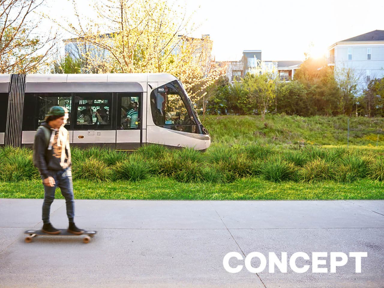
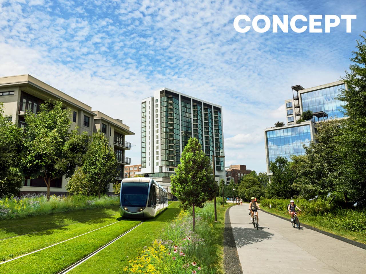
Transit has always been at the core of the Atlanta Beltline. Conceived as a 22-mile transportation corridor where pedestrian-friendly light rail transit and urban trails coexist, the Beltline aims to create “whole communities” where people can easily access jobs, services, goods, amenities, and the City’s larger transit network without relying on cars. Every design, plan, and concrete pour on the Beltline has anticipated future transit. The rendering above is a concept of green transportation along the Beltline.
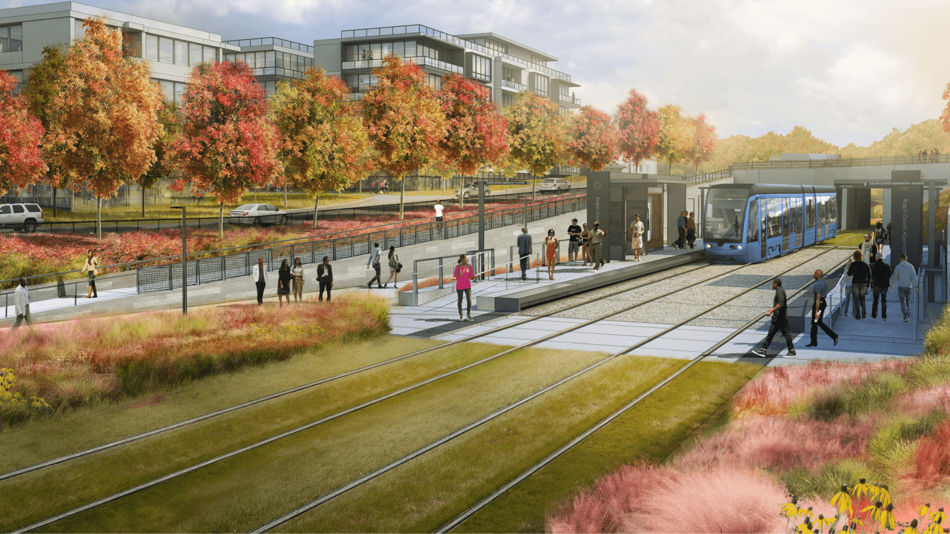

Transit rendering of the Southside Trail at Pittsburgh Yards (Photo Credit: Kimley-Horn)
Stepping Up to Meet Demand
Atlanta is growing very quickly and we must plan for the future. Between 2020 and 2050, the 21-county Atlanta region is expected to welcome 1.8 million new residents. Fulton County is expected to account for 16% of the region’s 2050 population, with current forecasts predicting that 1.26 million people will call Fulton home. This is an increase of nearly 200,000 residents, compared to 2020, and all of these new residents will need affordable, accessible transportation. Investing in projects like Beltline transit will reconnect our neighborhoods and provide our children with an Atlanta that can thrive for decades to come.

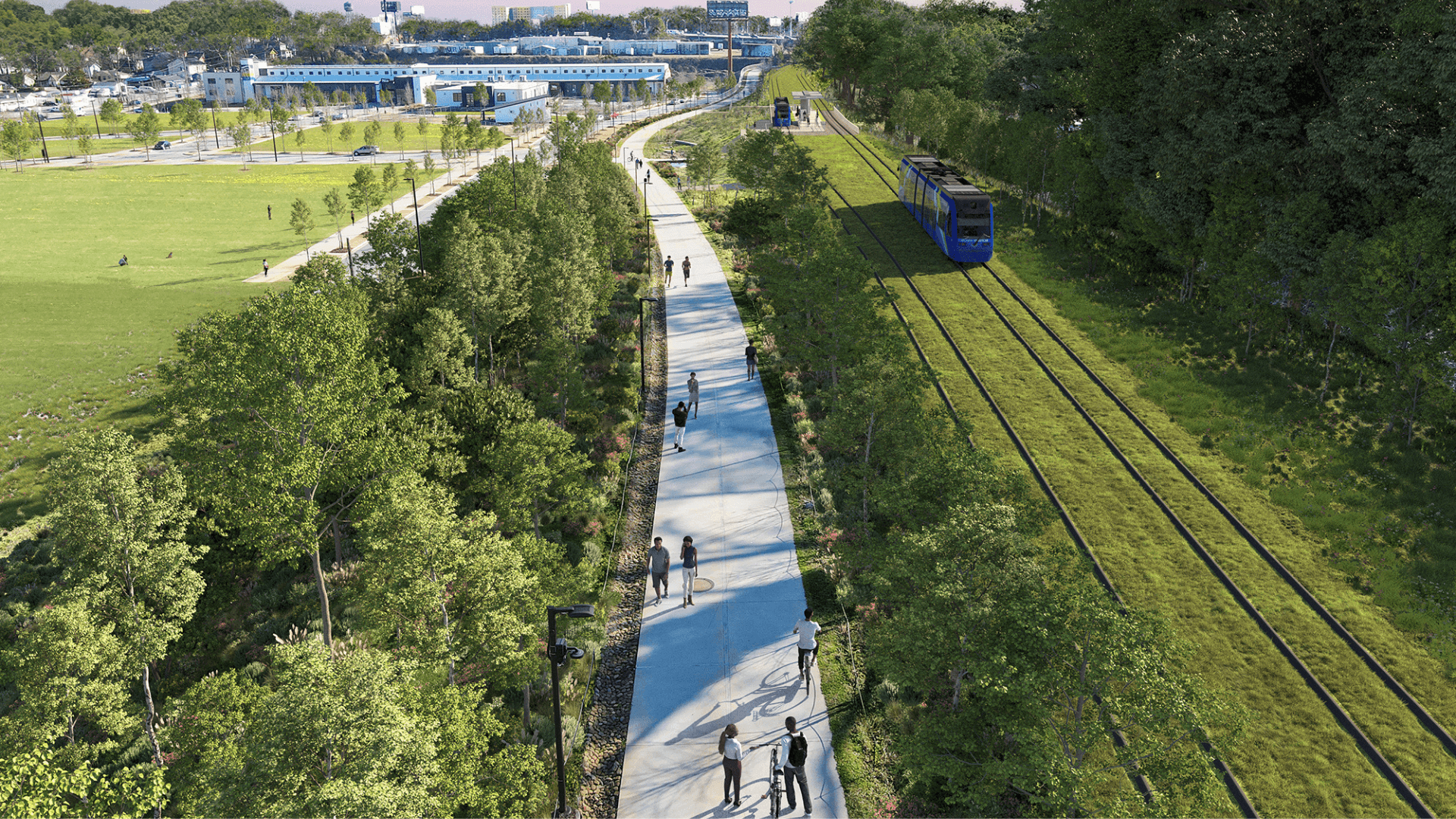
A Green Transit Corridor
When implemented, Beltline transit will expand 22 miles of light rail transit alongside existing Beltline trails. The City created the Beltline Zoning Overlay to preserve the corridor for transit and trails and to "create new mixed-use and commercial nodes at Beltline station areas that are pedestrian and transit-oriented." This has resulted in numerous high-density developments within a half-mile of the corridor. As segments are completed, they will link with existing and future MARTA stops. The vision of transit along the Beltline is:
Innovative
Green
Safe
Beltline transit is a piece of the larger regional transit system, connecting a growing population to where they want to go.
How We Make It Happen
Atlanta Beltline, Inc. (ABI) is dedicated to realizing the construction of light rail transit on the Atlanta Beltline, in alignment with the Atlanta Streetcar System Plan adopted by the Atlanta City Council in 2015.
MARTA owns planning and implementation and manages funds from the More MARTA half-penny sales tax.
ABI oversees land on behalf of the city and supports planning and implementation.
The City of Atlanta represents voters’ interests and generates the More MARTA half-penny sales funding stream.

Transit Projects
Learn about the active Atlanta Beltline Transit Study and how our research will bring more accessible transit solutions to Atlanta for generations.
Find out how the Atlanta Beltline is using autonomous vehicles to move the city in the right direction.