
Innovation Meets Community
Learn how the Beltline is reshaping Atlanta through dynamic urban planning, affordable housing, job creation and enhanced connectivity.
I am a...
Interested in…
Connected, Sustainable & Equitable Communities
The Atlanta Beltline is one of the largest and most ambitious urban redevelopment programs in the United States, igniting Atlanta's transformation into a global beacon of equitable, inclusive, and sustainable city living.

Developing the Beltline
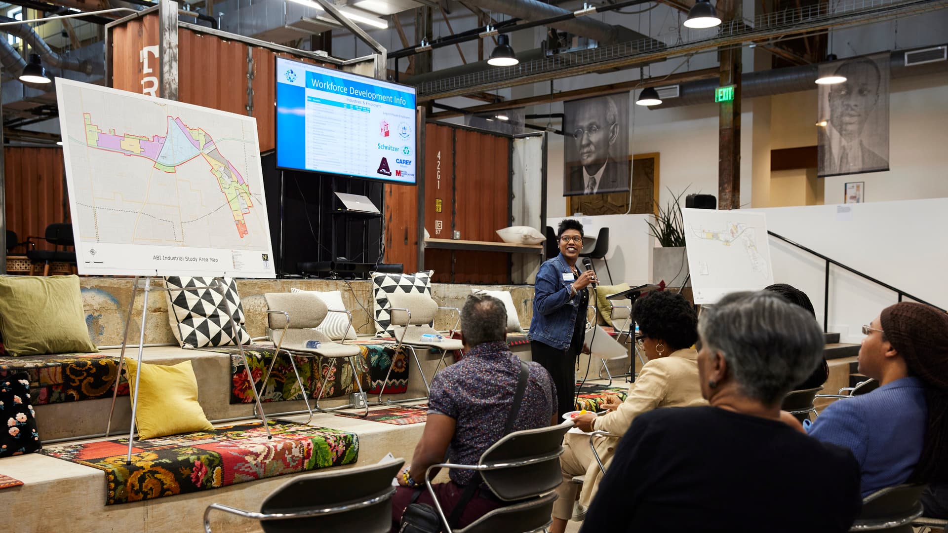
We want to build up physical space and the people of our city.
Real Estate Opportunities
Explore Atlanta Beltline real estate opportunities and see why this historic urban development project provides an ideal setting for your next development project.
Affordable Housing
Developing affordable housing on the Atlanta Beltline will always be a priority. Explore our programs and how we can partner together.
Transit
Atlanta Beltline, Inc. (ABI) is committed to seeing light rail transit built on the Atlanta Beltline.
Progress Planning & Policies
We're prioritizing data-driven, community-focused strategies and plans to ensure the successful implementation of the Atlanta Beltline.


The Atlanta Beltline is one of the largest, most wide-ranging urban redevelopment programs in the United States. (Photo Credit: The Sintoses)
Current Projects
The Atlanta Beltline is bustling with projects—from building new trails and parks to developing affordable housing and progressing transit around the corridor. Each initiative moves us closer to making Atlanta a more livable, connected, and sustainable city through innovative urban planning and community-driven efforts.
&w=1920&q=75)

&w=1920&q=75)

Here’s What’s Happening on the Beltline
There’s always something amazing going on.
There are no upcoming events.
See All EventsDive in Deeper
Learn about all of the latest happenings on and around the Beltline.
Resources at the Ready
Whether you're looking for our latest subarea master plans or slides from our most recent community meeting, you can find it in our document library.


