Mainline Beltline Trail
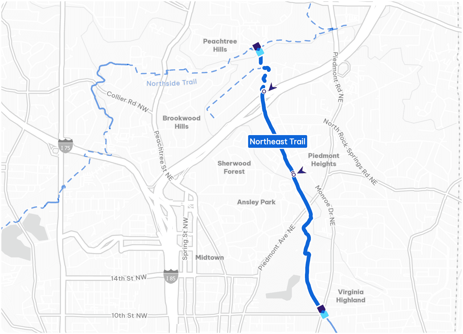
Northeast Trail
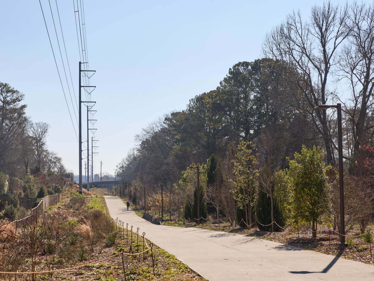
The Northeast Trail stretches from Peachtree Creek just north of I-85 and continues south to Monroe Drive at Piedmont Park. It passes Ansley Golf Club and the Ansley Mall shopping center and extends along the eastern edge of Piedmont Park. When complete, the Northeast Trail will connect the northern end of the Eastside Trail up to the Lindbergh MARTA station for a total of 1 mile.

This is funded in part by donations to the Atlanta Beltline Partnership.
Explore the Northeast Trail
Ride & Explore
Choose Your Own Adventure
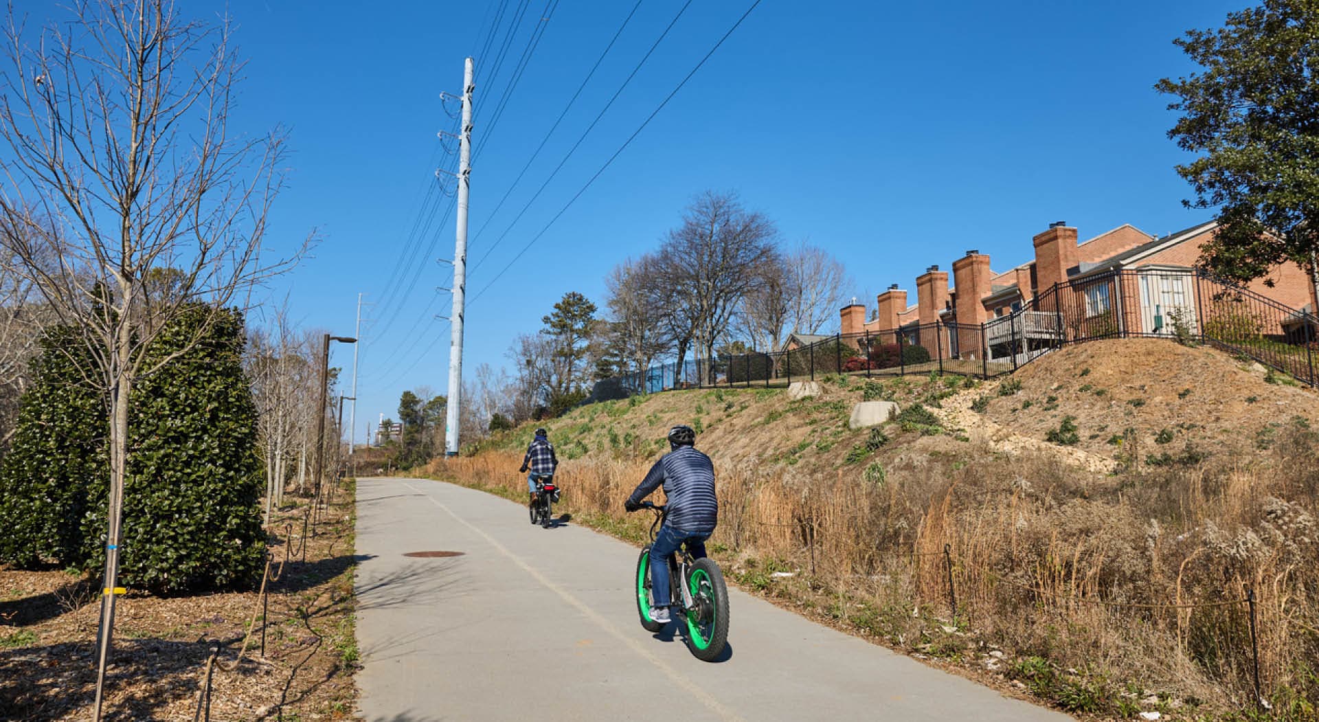
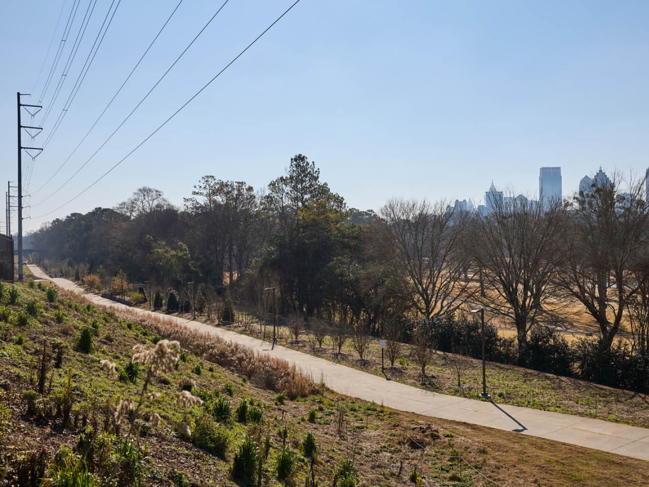
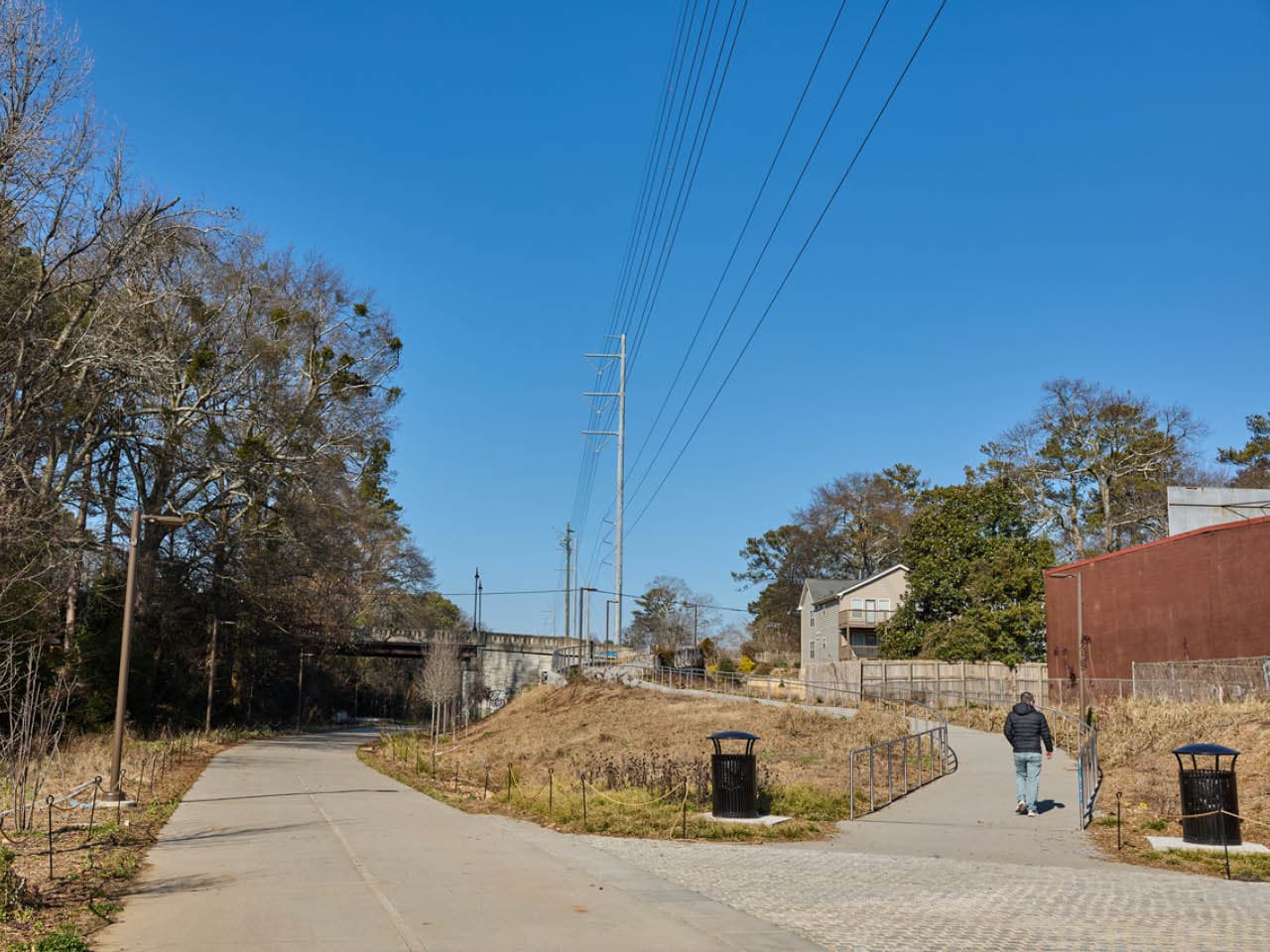
The Northeast Trail offers a mix of bustling commercial districts and quiet residential areas, as well as the vibrant energy of Piedmont Park.
Play
One of Atlanta's Most Beloved Greenspaces
Hop off the Northeast Trail to explore the beauty of Piedmont Park. Trails, playgrounds, tennis courts, dog parks, and a swimming pool-- there's plenty to discover.
Neighborhoods
Northeast Neighborhoods
Connecting the vibrant neighborhoods of Northeast Atlanta.

Shopping & Retail
Retail Chic and Classic
The sprawling Armour Yards is a beautiful reclaimed industrial district with a variety of entertainment offers, while Ansley Mall stands as a time-honored intown shopping center with a wide array of retail offerings.
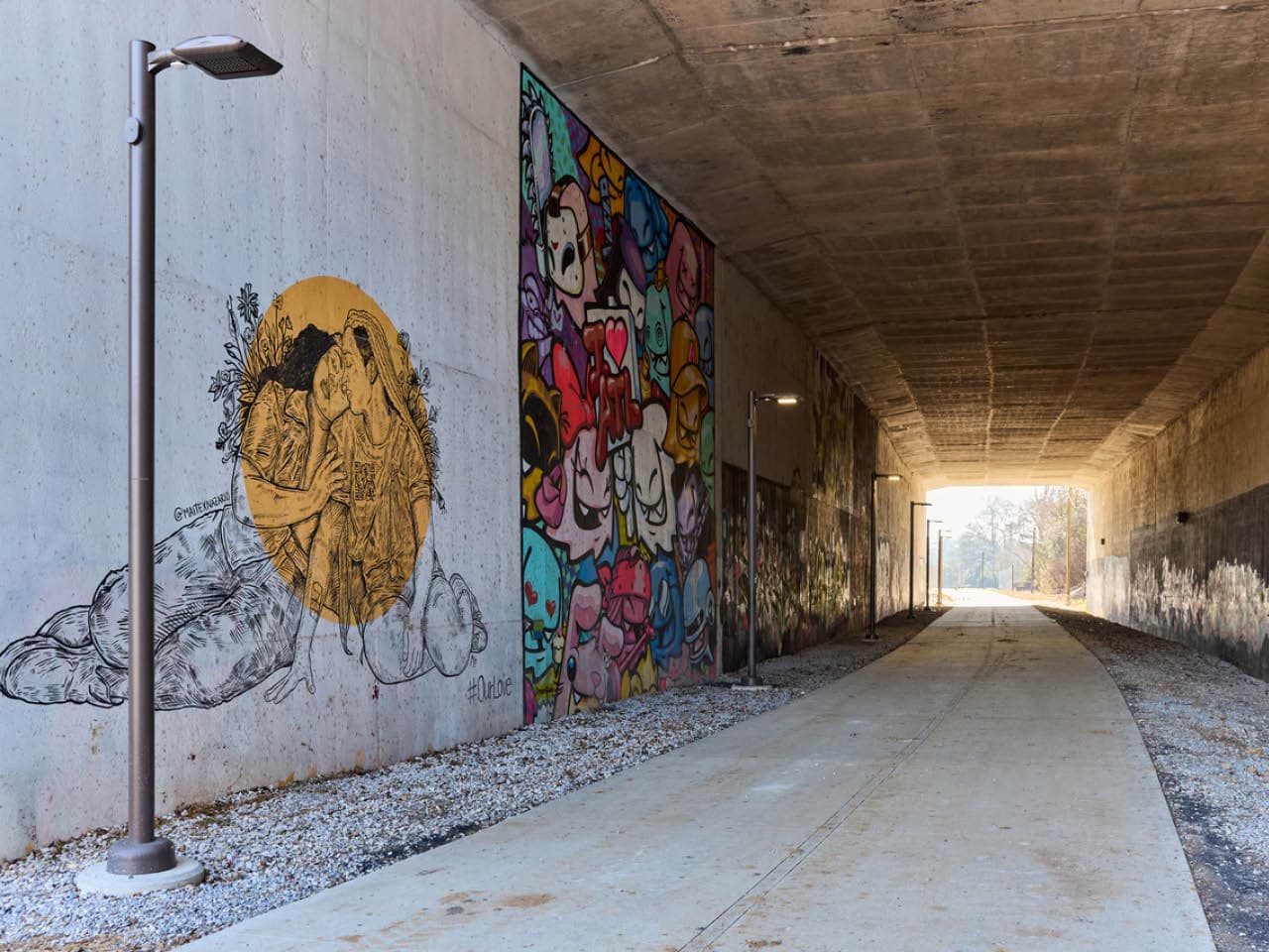
Art & Culture
Amplify Artistic Expressions
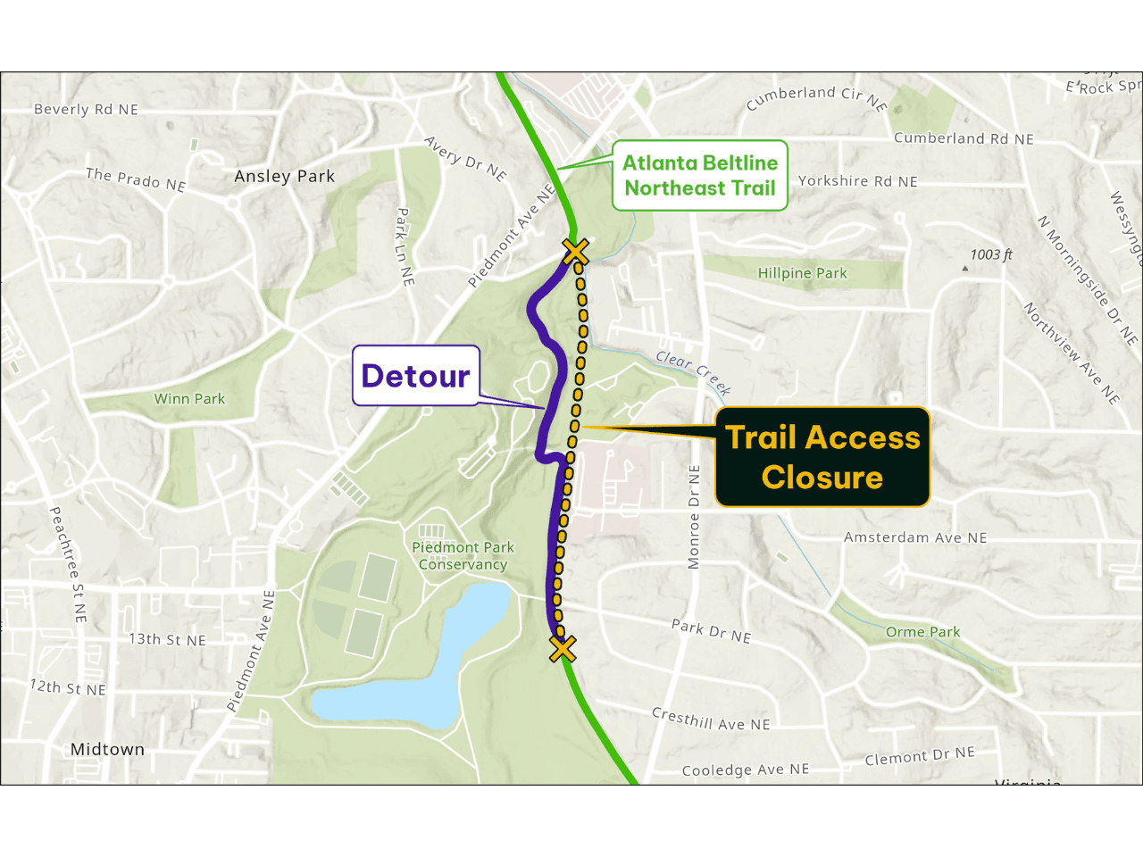
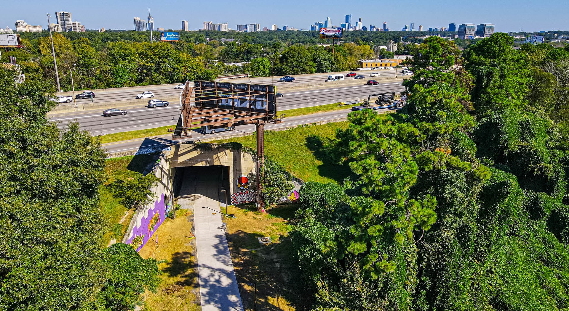
Transit Trail Detour
Starting March 2, we will be putting up permanent lights and cameras along this popular trail, along with new gravel, and trimming landscaping. The trail will be fenced off during construction, with the mainline trail serving as the 'detour.'
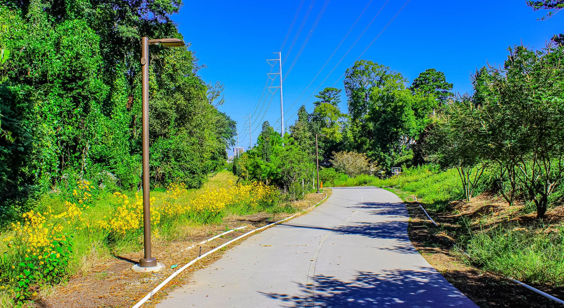
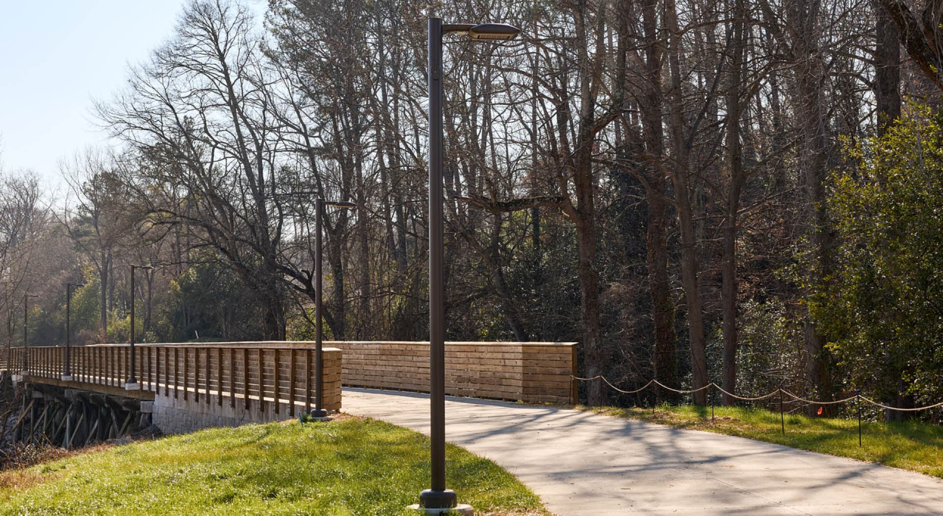
The Atlanta Beltline Arboretum blooms along the Northeast Trail. (Photo by LoKnows Drones)
The Beltline is for Everybody
We want everyone of every age and background to enjoy their time on the Atlanta Beltline. Let’s respect the trails and each other by following proper trail etiquette.

Get Directions and Find Beltline Parking
See how to get to the Atlanta Beltline from anywhere on the Northeast Trail.