The Blog
Design & Construction
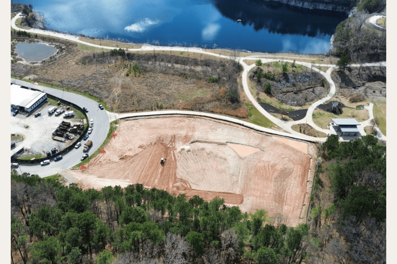
Atlanta Beltline Design and Construction Updates: February 2026
Below you will find recent updates and photos of each of our Atlanta Beltline projects in design or construction for February 2026.
Subscribe to our monthly newsletter, In The Loop, for Beltline news, events, announcements, and more.