Community Meetings
Download PDFLand Acquisition & Development
Subarea 7 Master Plan Update
Subarea master plans are created to provide the City of Atlanta with recommendations on guiding growth and development within communities, including transit, mobility, affordable housing, and more.
The Subarea 7 Master Plan update is an effort to ensure our plan, which was originally adopted in 2009 and selected by the Atlanta Regional Commission as a Livable Centers Initiative in 2014, reflects community priorities and visions.

Subarea 7
About the Area
Subarea 7 extends from I-75/85 to the south, Buckhead and Lindbergh to the north, Peachtree Road to the east, and Northside Drive to the west. This subarea is a key transportation anchor that includes future mainline trail and will serve as a confluence of other regional trail systems.
It includes Ardmore Park, Brookwood and Brookwood Hills, Collier Hills, Lindbergh and Lindbergh City Center, and Peachtree Hills. The subarea also includes Tanyard Creek, the Atlanta Memorial Trail, Bobby Jones Golf Course, Piedmont Hospital, Shepherd Center, the Northwest Connector and Bitsy Grant Connector Trails, the Armour/Ottley District, and the Lindbergh/Uptown area.

We want your thoughts
Attend an Open House
Ensuring our updated Subarea 7 Master Plan reflects the wants and needs of the surrounding communities starts with you.
Share your thoughts during one of our arcade-themed Open House sessions at 573 Main St NE (the former Taco Mac space).
November 17: 8:00 a.m.-12:00 p.m.
November 18: 11:00 a.m.-3:00 p.m.
November 19: 3:00-7:00 p.m.
November 20: 8:00 a.m.-12:00 p.m.
November 21: 9:00 a.m.-1:00 p.m.
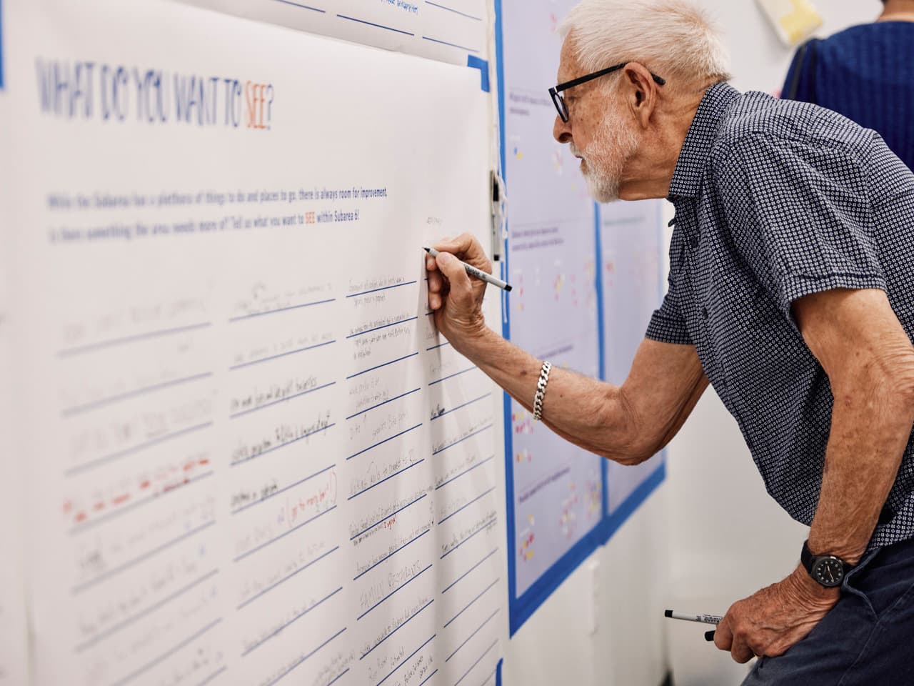
Can't attend an open house? Participate online now through November 30!
Project Timeline
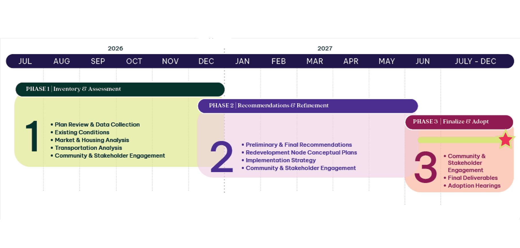
Project Status
Current Phase
The project team is working through a formal input process, including:
Online engagement through our interactive map activity and visioning survey.
Meeting the community where they are through informal pop-ups.
Determining community priorities through formal public meetings, pop-ups, and more.
Analyzing community and stakeholder input.

Project Status
Next Steps
Once diverse and representative community input has been collected, the project team will begin the recommendation and refinement phase, which includes:
Synthesizing community and stakeholder input into early conclusions and recommendations.
Presenting these findings to stakeholders and community members to ensure we’re moving in the right direction in the winter/spring of 2027.
