
Bringing Atlanta together, one mile at a time
Whether you’re out to explore, experience, or find a new place to call home, the Atlanta Beltline truly has something for everyone.
What are you interested in?
Who is coming along?
Experience the Heart & Soul of Atlanta
The Atlanta Beltline is an extraordinary attraction for visitors and residents alike. This 22-mile loop of trails, parks, and future transit is connecting 45 neighborhoods and creating a vibrant public space for recreation, commerce, and cultural expression. Along the path, you can find new restaurants, breweries, art galleries, local businesses, and experience moving arts and cultural exhibits and programs.
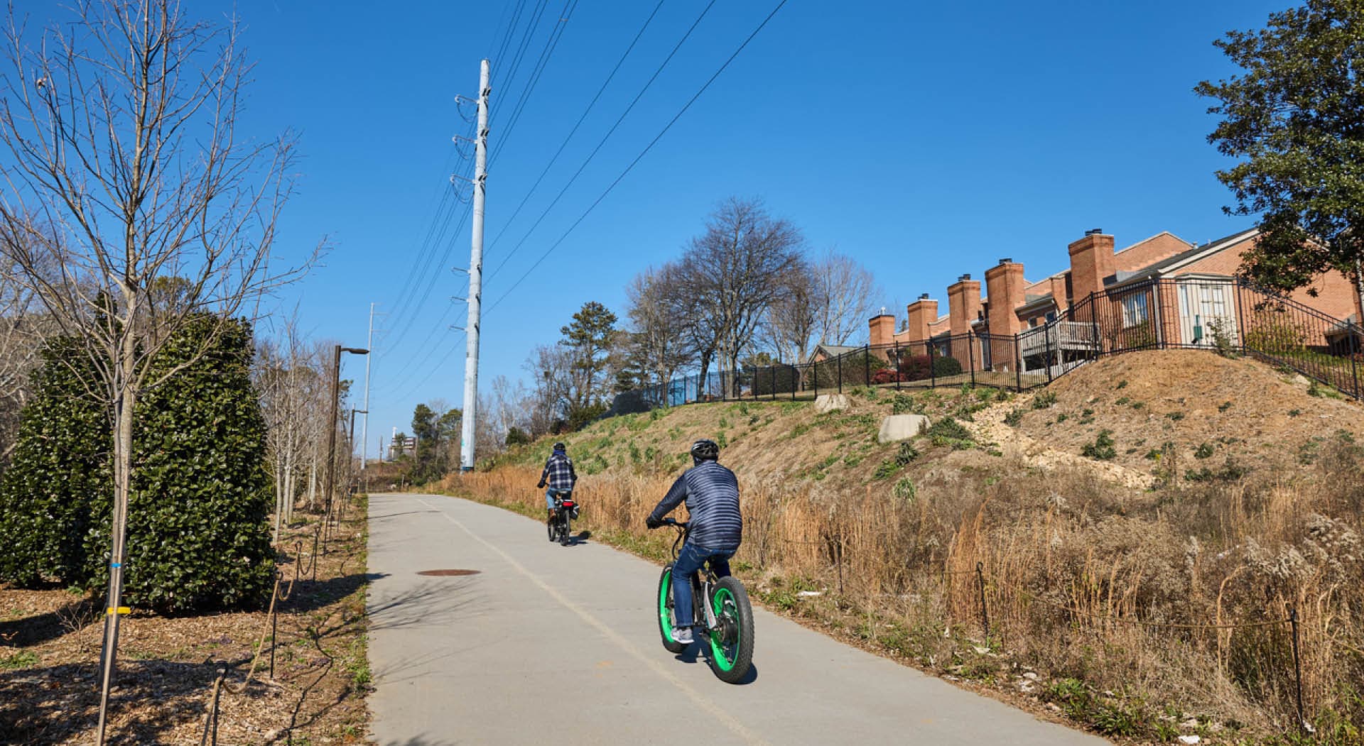
Parks & Trails
Wander the city and experience the natural beauty across Atlanta in our expansive network of parks and trails.
Arts & Culture
Dive into the Beltline's eclectic art scene. Galleries, events, and influential voices across cultures blend everything from the classic to cutting-edge.
Shopping & Dining
There’s no shortage of great shopping districts and destinations along the Beltline, each with its own amazing energy. Find your next great treasure or new favorite restaurant in no time.
Fitness & Wellness
No matter your age or skill level, there are so many paths to wellness when you’re on the Atlanta Beltline.
Tours
Ditch the indoors, get active, and breathe in the fresh air on a guided tour of Atlanta’s iconic Beltline.


Art on the Atlanta Beltline is the largest free public art exhibition in the Southeast. (Photo Credit: Dr. Arshley Emile)
Enjoy Life on the Beltline
With so many vibrant neighborhoods and easy transportation, life on the Beltline is just better. Whether you’re a lover of the arts, need more nature, or crave an instant community connection, there’s a community meant for you.


&w=1920&q=75)
There’s Something for Everyone
Whatever you’re passionate about doing, the Beltline is full of experiences and events that will enrich your life.
There are no upcoming events.
See All EventsSee What’s Happening Here on the Beltline
There’s always something amazing in the works. We’ve got the latest news and insights on all things Atlanta Beltline.


